Topographic Survey and Mapping of Nepal Scout Land in Kakani
Project: Nepal Scout Land in Kakani
Assignment: Topographic Survey and Mapping of Nepal Scout Land in Kakani
Location: Nuwakot District, Nepal
Client: S.P. Group of Engineering & Associates Pvt. Ltd.
Duration: February 2019 to February 2019
Project Description: Nepal Socut Land in Kakani is located in Kakani Village Development Community, ward No. 6, Nuwakot District. It is about 25 km from Kathmandu and has approximately 44 hectors of land. The topographical survey and mapping of the Scout land is carried out through this project.
Scope of Services:
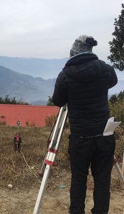
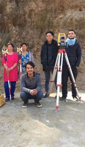
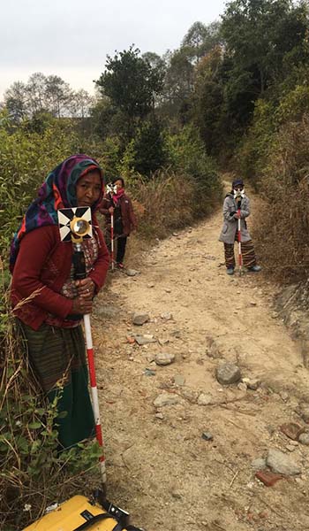
1. Collection, gathering and transportation of the equipment required to carry out the survey works; 2. Identification of the Trig points near to the site and establishment of Control Points as necessary in the site; 3. Major and Minor Traversing work over Project boundary; 4. Topographical survey of the proposed site in the scale of 1:500; 5. Preparation of Digital surface model(DSM) and (DEM); 6. Mapping, report preparation and submission. 7. Equipment used: a) Total Station-2 sets b) DGPS- 3 Set