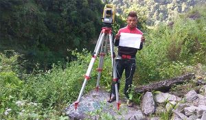
Topographical Survey and Mapping of Phukot Substation Access Road
Project: Karmadev Phukot Transmission Line and Sub-station project
Assignment: Topographical Survey and Mapping of Phukot Substation Access Road
Location: Kalikot District, Nepal
Client: Rastriya Prasaran Grid Company Limited
Duration: April 2018 to May 2018
Project Description: Phukot Substation lies in the Kalikot District of Nepal. It is a part of Karmadev Phukot Transmission Line project. Energy from Phukot Karnali HEP and other nearby projects will be connected to the national grid through this substation.
Scope of Services:
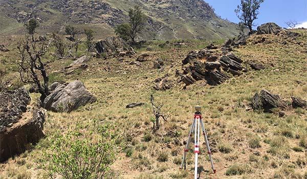
1. Transfer of control point using DGPS within the study area in connection to National Grid Coordinate System of Nepal; 2. Setting up benchmark and control points using DGPS for detailed topographical survey; and 3. Topographical survey and mapping of proposed substation area in the scale of 1:1000 with 1m contour interval-40 Ha. 4. Equipment Used: a) DGPS (2 sets); and b) Total Station (1 Set).