Bathymetric Survey of Trishuli River for Design of River Training Works Along Mugling-Narayanghat Road
Project: Mugling-Narayanghat Road
Assignment: Bathymetric Survey of Trishuli River for Design of River Training Works Along Mugling-Narayanghat Road
Location: Tanahau and Chitwan District, Nepal
Client: ITECO-ICGS JV
Duration: February 2019 to March 2019
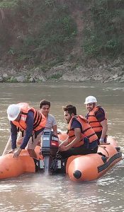
Project Description: Mugling-Narayanghat road has been upgraded to Asian Double Lane Standard Highway. However, along the road section there are several landslide locations which needs to be stabilized to ensure safe and uninterrupted transportation. So, the Mugling-Narayanghat Road Project has carried out the study for stabilization of major landslides in eight different locations.
Scope of Services:
1. Carry out bathymetric survey along the critical section where river training works needs to be carried out;
2. Carry out river X-section survey at an interval of 20m and L- section survey through-out the critical stretch;
3. Identification of deepest section/profile in the surveyed portion;
4. Mapping and development of 2D and 3D model of river, X-section and L-section profiles for the surveyed area using Hi-Max and Arc-GIS Mapping software.
5. Equipment Used:
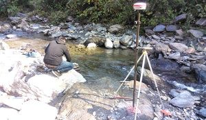
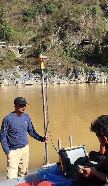
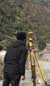
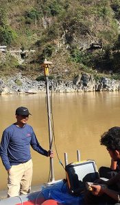
a. Differential Global Positioning System Sets-2 sets with accessories;
b. Echosounder integrated with transducer & sonar system and 15″ display built in PC;
c. Rafting Boat and accessories.