Implementation of Certain Services Regarding Topography Survey of Schools for Earthquake Reconstruction Project
Project: Survey of Schools
Assignment: Topography Survey of Schools
Location: Ramechhap, Sindhuli, Kathmandu and Bhaktapur District, Nepal
Client: R.K. Survey Company (P) Ltd.
Duration: February 2019 to March 2018


Project Description: Reconstruction of earthquake-affected schools in the different area of Nepal which have experienced significant destruction and received limited reconstruction help so far from the concerned authorities. With the funding form the Norwegian Embassy, UNOPS coordinating with Government of Nepal (GoN), National Reconstruction Authority (NRA), Central Level Project Implementation Unit-Education (CLPIU-Education) will carry out this project.
Scope of Services:
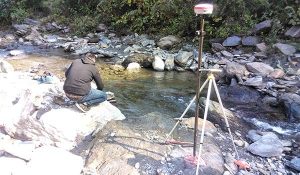
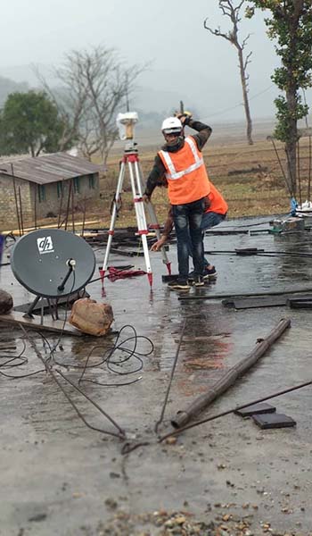
1. Carry out topographical survey covering all the features within and outside the school boundaries for at least distance of 20m from the boundaries and transform all data with respect to the nearest Trig Point of Nepal.
2. Preparation of Survey data in GIS shape file using Modified Universal Transverse Mercator MUTM projection system where X, Y, Z value of the all features and necessary attribute information are provided.
3. Preparation of 3D view of school showing proper existing building using GIS and generation of CAD format data of school based on surveyed data showing all the features including spaces between them.
4. Propose the new location of the building in consultation with Engineer in charge and demarcate the plan of the building on the plan map with proper dimension and different color codes.
5. Carry out the DGPS survey for accurate point poisoning on the control point from the National Grid Network in such a way that the surveyed data can be overlaid on Google Earth properly.
6. Documentation of the 4 Control Point, RCC Pillars of 100*100*500 mm size having a copper wired inserted on it with embedment of 400mm and projecting 100mm above the ground as approved by the engineer-in-charge.
7. Establish and show the position both in plan and elevation of all natural and artificial features of the area like waterway, electric pole, railway tracks, trees, cultivation, house/any structure, fences, gravel and tarmac roads including culverts position and invert levels and crossings, foot tracks, other permanent objects like telephones posts and transmission towers on survey maps by means of conventional symbols and a key given.
8. Survey and map plotting of all distinct natural and artificial features, existing above and below grade utilities, earth deposits, depressions, hills and valleys, vegetation, watercourses etc.
9. Proper survey on ground and Interpolation of Contours at 250m interval so that the features falling between the two successive levels are also picked up.