Topographical Survey of Upper Modi (18.2 MW) and Upper Modi A (48 MW) Hydroelectric Project
Project: Upper Modi Cascade Hydroelectric Project
Assignment: Topographical Survey of Upper Modi (18.2 MW) and Upper Modi A (48 MW) Hydroelectric Project
Location: Kaski District, Nepal
Client: Annapurna Vidhyut Bikas Company Pvt. Ltd.
Duration: May 2018 to January 2019


Project Description: Upper Modi A HEP is RoR hydroelectric project located in Modi River of Kaski District. The installed capacity of the project is 42 MW with design discharge of 17.4 m3/s and gross head of 287.69 m.
Upper Modi HEP is proposed to be developed as a cascade of Upper Modi A HEP. The flow from tailrace of UMAHEP is diverted to UMHEP through interconnection arrangement/ The installed capacity of the project is 18.2 MW with design discharge of 17.4 m3/s and gross head of 133m.
Scope of Services:
1. Transfer of control point within the study area in connection to National Grid Coordinate System of Nepal.
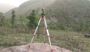
2. Control point verification using DGPS, total verified control points- 50 Nos;
3. Establishment of control points including monumentation in major structure location-24 Nos;
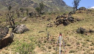
4. Detail topographical survey of major structure areas of UMAHEP and UMHEP in 1:500 scale – 43 Ha;
5. Preparation of survey map in the scale of 1:5000 for the whole project area-200 Ha by GIS Mapping technique;
6. River cross section survey (50 Nos) and longitudinal survey (2 km) at H/W and PH Sites of UMAHEP and UMHEP- and;
7. GIS Mapping, Preparation of Survey Maps, drawings and reports.
8. Equipment Used:
a) DGPS-3 sets
b) Total Station-2 sets