Topographical Survey, Bathymetric Survey and Mapping of Headworks Sunsari Morang Irrigation Project
Project: Sunsari Morang Irrigation Project
Assignment: Topographical Survey, Bathymetric Survey and Mapping of Headworks Sunsari Morang Irrigation Project
Location: Sunsari and Morang District, Nepal
Client: Hydro Consult-ITECO-TMS JV
Duration: October 2018 to November 2019
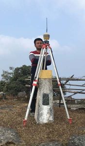
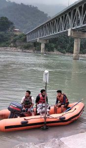
Project Description: Sunsari-Morang Irrigation Project (SMIP) is located in Sunsari and Morang districts of Province No.: 01. The gross command area of SMIP is about 112,000 ha which stretches between the Koshi river on the West and Bakra River on the East. The existing net command area of the project is about 68,000 ha of which 40,000 ha lies on Sunsari district and rest 28,000 ha on Morang district. This headwork of the project is planned to be upgraded to increase water availability from 45 m3/s to 60 m3/s. With the increased water availability, it is found out from the preliminary studies that around 20,000 ha additional area in the eastern part (Sunsari & Morang District) and 30,000 ha new command area in the western part (Saptari and Siraha District) can be irrigated.
Scope of Services:
1. Establishment of Control Point Network covering 6km u/s and 6 km d/s of the barrage location along Koshi River and conducting detailed topographic field survey for total of 1510 ha;
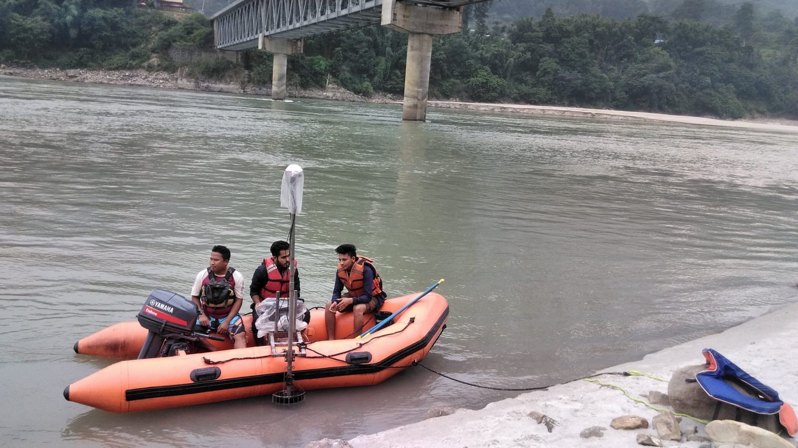
2. Bathymetric Survey of Koshi River for 30 sections around the barrage location, longitudinal survey for 6 km u/s and 6 km d/s of the barrage location and cross-sectional survey throughout the 12 km stretch;
3. Mapping, river modelling (2D & 3D) and Report Preparation.
4. Equipment Used:
a. DGPS- 3 sets;
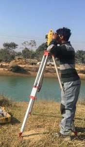
b. Total Station- 3 sets with accessories;
c. Echosounder integrated with Professional Sonar System and 15’ build in PC;
d. Rafting boat and accessories.